
Taunton Neighbors on One Block
Public sources can describe a block in layers, but they do not create a live household census. The Taunton Assessor / Vision Government Solutions record gives an assessment lead, and MapGeo shows parcel geometry. The Northern Bristol County Registry of Deeds can identify recorded parties and instruments. Historic directories and Old Colony History Museum street assessor lists are dated address snapshots. A voter record has its own limited purpose. Treat each name as belonging to the source and date where it appears.
| Source | What It Shows About a Block | Access |
|---|---|---|
| Taunton MapGeo | Parcel shapes, situs addresses, and adjoining parcels | Public map; non-authoritative geometry |
| Taunton Assessor / Vision Government Solutions | Assessment and assessed-owner clues for a parcel | Public portal; owner is not automatically occupant |
| Northern Bristol County Registry of Deeds | Recorded parties, instruments, plan references, and title leads | Recorded Land covers 4/4/1735 to current |
| City directories and OCHM lists | Dated listed addresses, wards, and historical context | Dated listings only; not a current roster |
| Taunton Elections or state self-check | Limited registration or local-list information | Restricted by applicable rules and redactions |
A current parcel owner can be a trust, an entity, or a person whose mailing address is elsewhere. A directory may name a boarder or a business contact, while a street assessor list reflects its particular year and voter-based scope. Those differences are useful labels, not errors to erase. Neighbors are best understood as a short list of documented parcel and address relationships tied to dates.
Taunton Parcel Search Workflow
MapGeo is the practical starting point for the immediate parcel pattern. Its Quick Search provides Address, Owner, and Property ID. Search the target address or property ID, zoom to the parcel, click each adjoining shape, and record the parcel identifier and situs address before moving to the next one. That creates a reproducible list of abutting parcels without claiming that a name on one record proves current occupancy.
- Enter the address, owner, or property ID in MapGeo Quick Search and open the target parcel.
- Click the adjoining parcel shapes, then preserve each displayed parcel ID and situs address with the date of review.
- Use the Taunton Assessor / Vision Government Solutions record to compare assessment information and the owner clue for each parcel.
- Search the recorded parties or referenced book, page, plan, or document in the Northern Bristol County Registry of Deeds when title context is needed.
MapGeo has no verified public feature in the reviewed interface that automatically returns every parcel within a measured 500-foot radius. Do not treat a visual map as a distance buffer. Its GIS data may come from third parties and is not the legal boundary; the recorded deed or plan is the source to check when a boundary matters. For a complete named-street chain rather than the nearby block, use the Taunton streets search.
Taunton Neighbor Parcel Roles
Parcel data is helpful only when its limits are carried with it. A situs address is the property location used by the assessor. A mailing address is where tax correspondence goes and may be elsewhere. A parcel or property ID links map and assessment systems, while a map and lot can help tie a plan or registry entry to the same land. A deed records an instrument and named parties, not a complete list of everyone who stayed at the address.
- Abutter
- An abutter is the owner or parcel beside a target parcel. The word describes a land relationship, not a personal relationship.
- Situs address
- The physical location label associated with a parcel. Keep its spelling and unit detail when comparing historical records.
- Parcel ID
- The municipal identifier used to connect an assessment record to the map. Record punctuation exactly when it appears.
- Recorded party
- A person or organization named in a recorded land instrument. A recorded party may not be a present neighbor.
The Registry street inquiry can supplement a parcel search, but its street fields are incomplete by design. When a street query returns little, repeat the search by owner name and inspect the available document type, date, town, and reference fields. The Registry's Recorded Land and Land Court paths are separate, and an image search can use book and page, plan book and page, date range, town, or document type.
Taunton Neighborhood Names
Taunton's city plan uses neighborhood names as search context, not as a single parcel-boundary system. The plan identifies Weir, Whittenton, Oakland, Westville, East Taunton, Downtown, North Taunton, and Bird Lanes. A street, directory entry, ward map, or community notice may use one of those labels, but no single official boundary for every named neighborhood was verified. Compare the map vintage when an election ward or precinct label is part of the question.
The 2024 Woodlawn Street number-change discussion is a local reminder that a present address can differ from an older record. Preserve an old printed address before converting it to the current form. Then compare the assessor map and lot, Registry plan references, city street-index maps, and directory cross-references. That cautious method prevents a numbered address from being attached to the wrong block.
Note: A neighborhood label can narrow a search, but it does not establish a property line, parcel owner, or household member.
Taunton Neighbors Community Links
Community sources can point to public meetings, local history, services, or organizations near a block. They are not membership rosters. The reviewed material did not locate a verified citywide association or HOA roster. Use each community lead for the limited public purpose it states, and do not turn a directory category or a neighborhood website into a list of private households.
Whittenton Village
A neighborhood lead for local history and community context, rather than a complete list of neighbors.
Taunton Resource Directory
Searchable city resource categories can identify a public organization or service, subject to its update and inclusion limits.
City Business Directory
The city directory is a public organization lead, not evidence of a private resident's address.
Community Links
The Taunton Housing Authority links page collects neighborhood and community references without creating a citywide roster.
Whittenton Village is one named neighborhood resource that can supply public context for Taunton neighbors.

Use a neighborhood resource to understand local context, not to infer who belongs to a household.
The Taunton resource directory provides category, first-letter, business or name, and search paths for public listings.
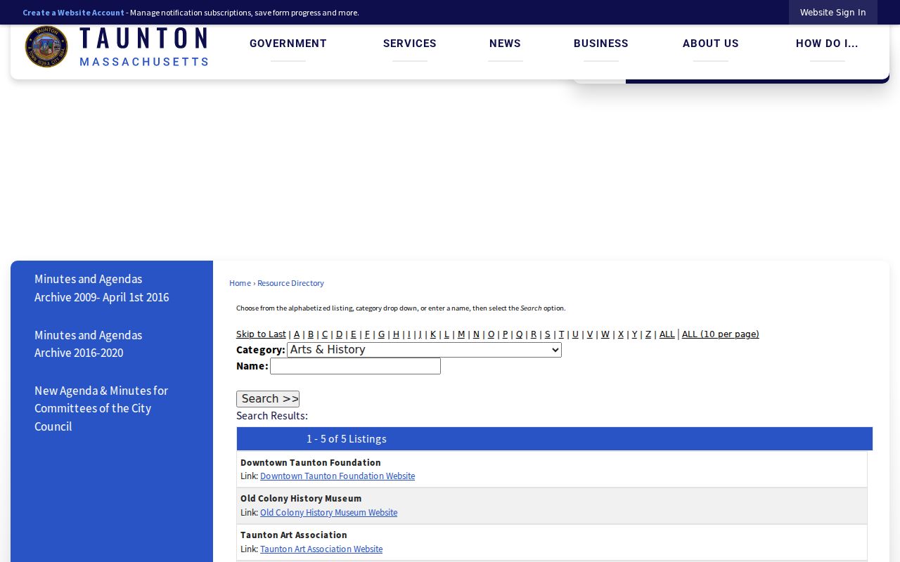
Its listing categories can help locate an organization, but inclusion and update dates vary.
The city business directory is another public-facing resource for Taunton organizations.
A listed organization does not establish the identity or address of its members.
The Taunton Housing Authority community links page provides another route to public neighborhood references.
These links are best used to find public information and context around a Taunton block.
Taunton Neighbor Voter Limits
Massachusetts voter information is not a block-by-block household census. The statewide Check Registration Information self-check requires a person's name, date of birth, and residential ZIP code. It returns limited registration or preregistration status, active or inactive status, polling location, and state and federal elected officials. It is appropriate only for a person who has supplied the required identifying details and a legitimate purpose.
Taunton Elections, at City Hall, can answer local questions about list year, format, fee, inspection, and redaction rules at 508-821-1044. Public voter fields have limits, and confidential voters are excluded. Phone, email, veteran status, permanent-absentee status, and other protected categories are not ordinary directory data. A voter entry may be inactive and does not prove a full household at a property.
Taunton Neighbor Sources Compared
Official records and commercial neighbor tools should not be treated as equivalent. An official parcel, deed, directory volume, or voter channel names the custodian, source date, and access rule. A commercial tool can merge information from different dates without preserving those limits. For questions about Taunton neighbors, the official record trail offers a way to verify what a particular source actually says.
| Need | Official source | Limit to retain |
|---|---|---|
| Adjoining land | MapGeo parcel shapes, then a registry plan or deed if needed | GIS geometry is not the authoritative legal boundary |
| Recorded title party | Northern Bristol County Registry of Deeds | A recorded party is not automatically a present occupant |
| Dated address listing | City directory or OCHM street assessor list | Each collection reflects its year and inclusion rules |
When a source disagrees, preserve both results with their dates. The difference may show a mailing address, a past listing, a boundary representation, or a changed street number rather than a mistake by either office.
Taunton Neighbor Lookup Privacy
Public access has limits even when a parcel or recorded instrument can be viewed. The Massachusetts Address Confidentiality Program, M.G.L. c. 9A and 950 CMR 130.00, provides substitute-address protection for eligible people. Confidential-voter rules, protected court files, and vital-record restrictions also limit what can be used or shared. Do not try to triangulate a substitute address from other records.
Parcel and directory research should stay focused on the narrow question being asked. Do not expose protected addresses or use a block-level search to stalk, harass, threaten, impersonate, or intimidate another person. If information seems inaccurate, record the source and date, then ask the responsible custodian about correction, redaction, or the proper access channel.
Lawful use. A Taunton neighbor lookup can support personal, lawful property or community research, but it must not be used to watch, harass, threaten, or expose protected people. Respect confidential voter, court, vital, and substitute-address protections.