
Tracing Taunton Streets by Address
A street-by-street search begins with the location, not a person’s name. Preserve the printed version first, including an older abbreviation or a number that may no longer match a current map. MapGeo or the assessor record can then identify the parcel and its property ID. From there, the Registry can connect the parcel to recorded parties, while a directory or local voter-list request may add a dated address listing. Each source answers a narrower question. A deed identifies recorded parties, an assessor record supplies a valuation and ownership lead, and a directory records a published listing for a particular issue.
Use this order when working through a Taunton street directory result. It keeps the search tied to a source date and avoids treating a modern map label as proof of an earlier address.
- Copy the street number, street name, suffix, unit, and any historical spelling from the item in hand.
- Search the address in MapGeo or the Taunton assessor database, then save the property ID and map or lot when displayed.
- Use the parcel to review recorded instruments through the Northern Bristol Registry of Deeds.
- Search each recorded owner or seller as both grantor and grantee to test the title trail.
- Compare a dated directory, OCHM street assessor list, or municipal voter-list route for a historical address listing.
Taunton Street Directory Property Fields
The Taunton MapGeo viewer is the quickest local map starting point. Its Quick Search exposes three useful choices, so an address can be checked even when a street name has a common spelling. MapGeo supports parcel browsing and clicking adjoining shapes after a result is found. Its own disclaimer matters: map data can include third-party information, errors, or omissions and is not the authoritative legal boundary. Save the result as a lead, then use the recorded instrument or plan when legal boundaries or title must be confirmed.
| MapGeo field | How it helps a street search | Check next |
|---|---|---|
| Address | Finds the mapped situs form for a Taunton street location. | Compare suffixes, units, and historical number forms. |
| Owner | Supplies an assessed-ownership lead for a parcel. | Confirm recorded parties in the Registry. |
| Property ID | Connects an assessment snapshot to a mapped parcel. | Record the map or lot and deed references where shown. |
Vision Government Solutions publishes Taunton FY2026 values based on January 1, 2025. Dynamic parcel details still need live verification. An owner or mailing field may differ from the situs address, and a valuation is neither a market price nor proof that someone lived there.
Taunton Parcels on MassGIS Maps
For a second map view, the Massachusetts Interactive Property Map offers address and place type-ahead plus a fiscal-year parcel pop-up across the Commonwealth. It is useful when a street name crosses municipal boundaries or when the local viewer needs a statewide comparison. MassGIS describes parcel boundaries as representations. The Registry of Deeds remains the authority for the recorded legal boundary and instrument.
MassGIS Interactive Property Map provides the statewide parcel-search context for a Taunton street-directory search.
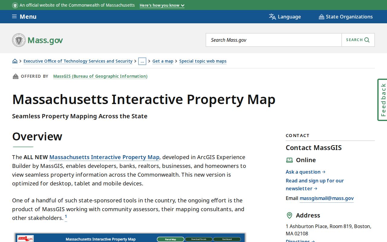
The statewide viewer is strongest as a comparison layer. It can help locate the parcel, but the address, geometry, and assessment attributes should be checked against Taunton records before a conclusion is drawn.
The Taunton MassGIS parcel feature layer is another dated representation of the city’s property data.
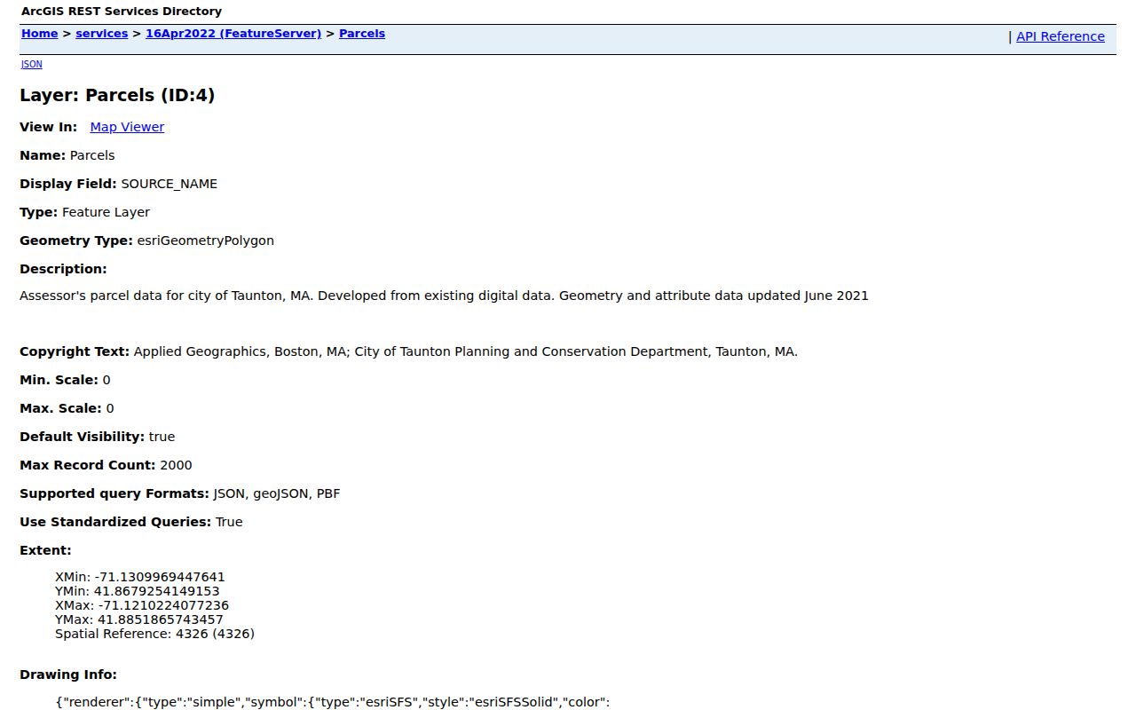
Keep the layer name and data date with any exported parcel clue. A GIS shape can show adjacency and frontage, yet it does not replace a registry plan or establish who was at an address.
Taunton Street Registry Searches
The Northern Bristol Recorded Land Street Inquiry gives a direct address path for Taunton instruments. Enter a broad date range before narrowing a document type. Street Number is conditional, while the other search choices shape the query. The Registry warns that not all documents have a street number and name listed. A no-result street search is therefore not a complete title search. Repeat it with the property owner or seller in the Recorded Land name inquiry and compare the legal description.
| Street Inquiry field | Requirement | Use for a Taunton address |
|---|---|---|
| Start Date | Required | Sets the beginning of the instrument range. |
| End Date | Required | Sets the end of the instrument range. |
| Doc Type | Required | Choose all document types first when the record type is unknown. |
| Street Number | Conditional | Test the number, then repeat without it if an older form is possible. |
| Street Name | Required | Try the historical and normalized street form. |
| Town | Required | Select Taunton within the Northern Bristol district. |
Northern Bristol Recorded Land Street Inquiry is the source shown in this Taunton street-directory view.
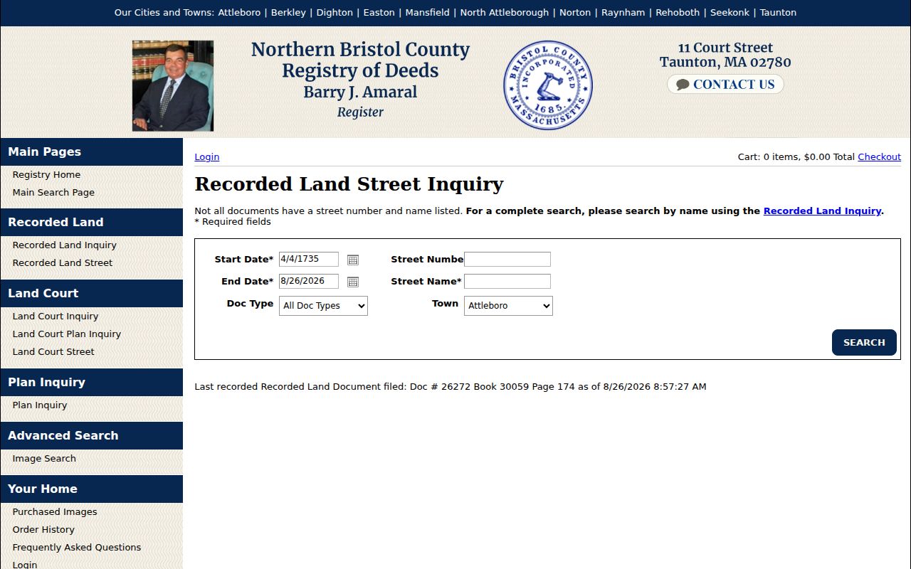
The search form reinforces the practical rule: use the street path for a fast address lead, then use grantor and grantee name searches for completeness. Recorded Land reaches from April 4, 1735 to the current date, while the separate Land Court Inquiry reaches from August 5, 1903 to the current date. For earlier work, the Registry also provides pre-1885 grantor-grantee index images in 1686-1795, 1795-1840, 1840-1866, and 1881-1910 groupings. Follow an image-index reference to the underlying instrument.
Woodlawn Street Number Changes
Taunton City Council minutes from October 8, 2024 discuss a Woodlawn Street number change, Registry notice, and city engineer and GIS coordination. That record is a useful local warning, not a master crosswalk of every changed address. A present number can fail in a historic directory or land index even when the parcel is the same. Treat a proposed old-to-new match as a working hypothesis until it is supported by a city map, plan, assessor record, Registry instrument, or USPS normalization.
For a changed address, test the old and new number with the same street name, then run the street name without a number in the Registry. Compare map or lot references, directory cross-references, city street-index maps, and the relevant ward or precinct map vintage. The Woodlawn meeting record explains why a street directory should preserve the historic form before normalizing it.
Note: A street number is an address label, while the parcel map, legal description, and recorded plan may preserve a more durable location reference.
Taunton Address Records Compared
A Taunton street directory combines several records that describe different layers of one place. The assessor record and MapGeo help identify the parcel. The Registry records recorded land parties and instruments. A published directory or OCHM street assessor list may place a named person at an address for its particular year. A permit may connect a project or applicant to an address, but it does not by itself prove ownership or residence. Keep those categories separate in notes.
| Address-keyed source | Custodian | What it can show | Important limit |
|---|---|---|---|
| Assessment and parcel record | Taunton Assessor / Vision Government Solutions | Situs, assessed owner lead, property ID, map context | Owner and mailing information may not identify an occupant. |
| Parcel map | Taunton MapGeo or MassGIS | Geometry, frontage, adjoining parcels, map browsing | GIS representation is not the legal boundary. |
| Recorded land index | Northern Bristol County Registry of Deeds / Bristol North District | Recorded parties, deeds, liens, plans, and legal descriptions | Street fields are incomplete on some instruments. |
| Street assessor list | Old Colony History Museum | Selected ward, address, occupation, and registered-voter context | It is not an all-resident list. |
| Building permits | Taunton Building Department | Project, applicant, owner, contractor, or use-change clues | Historical online depth is not verified. |
A parcel, a deed, a directory entry, a voter-related list, and a postal address should not be treated as interchangeable evidence. Record the date and source beside every name or address before merging the clues.
PermitEyes for Taunton Streets
Taunton PermitEyes allows public permit searching without an account. An account is needed to apply and pay. The Building Department describes records for new construction, repair, additions, demolition, change of use, trade permits, inspections, and code enforcement. That makes a permit useful for dating a project or finding a related name, especially after a parcel and street form have already been identified.
Taunton PermitEyes is the public permit-search route for this address search.
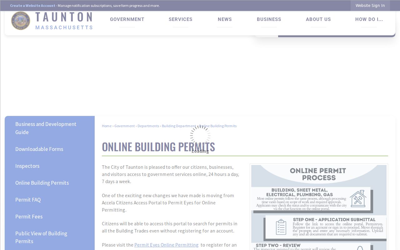
The record should be read as a project clue. An applicant, contractor, or contact can differ from the recorded owner and from a person listed at the property. The research did not verify the complete online backfile, so an older permit question belongs with the Building Department.
Taunton Street Directory Historic Lists
For a dated street result, the Old Colony History Museum holds Taunton Street Assessors Lists for 1902-05, 1912, 1928, 1930, 1934, 1939, 1950, and 1963. The lists include addresses, occupations, and registered-voter context, organized by ward and separated into men and women. They are especially useful beside a directory issue and a map vintage. They do not identify every person who lived at an address.
The Massachusetts State Library’s verified holdings list identifies selected Taunton city directories from 1855 through 1980. Those issues can supply an earlier printed address form and spelling. The historical volumes are described in more depth in the Taunton city directory collections, where the collection limits and entry conventions belong.
A 1898 Taunton Sanborn set at the Library of Congress contains 57 sheets. It can test building use, street configuration, and nearby structures. It cannot name the people at the address, so pair it with a dated directory, land record, or assessor list.
Taunton Street ZIP Labels
Taunton’s standard residential ZIP is 02780. Official Census and state material also identify 02783 as a Taunton ZIP with unique, P.O.-box, or institutional-like characteristics and no Census residential population in the reviewed profile. A ZIP city label is a USPS addressing convention, not a municipal boundary or a parcel identifier. That distinction matters when a directory, deed, map, and mailed address use different place labels for the same general area.
The USPS ZIP Code Lookup can normalize an address by street or city and state, but USPS warns that the result does not confirm a person or company at the address. Preserve the historic street form first, then use the postal result only as a current mailing check. A city street-index map and ward or precinct map may supply a better historical location comparison.
Taunton Street Directory Terms
Address research gets clearer when the record terms are kept distinct. The same location can carry a parcel identifier, a modern situs address, a historical printed number, and a legal description. A Taunton street directory result is most useful when those references are copied together rather than reduced to one current street label.
- Parcel
- An administrative mapping and valuation unit used by the assessor and GIS systems.
- Situs address
- The property location used for assessment purposes. It can differ from an owner’s mailing address.
- Plat or plan
- A recorded map reference that can document a boundary, subdivision, easement, or street layout.
- Criss-cross directory
- An address-arranged directory format used to work from a street location toward a listed name.
The MassGIS property-tax parcel data records the statewide parcel-data context used for Taunton.
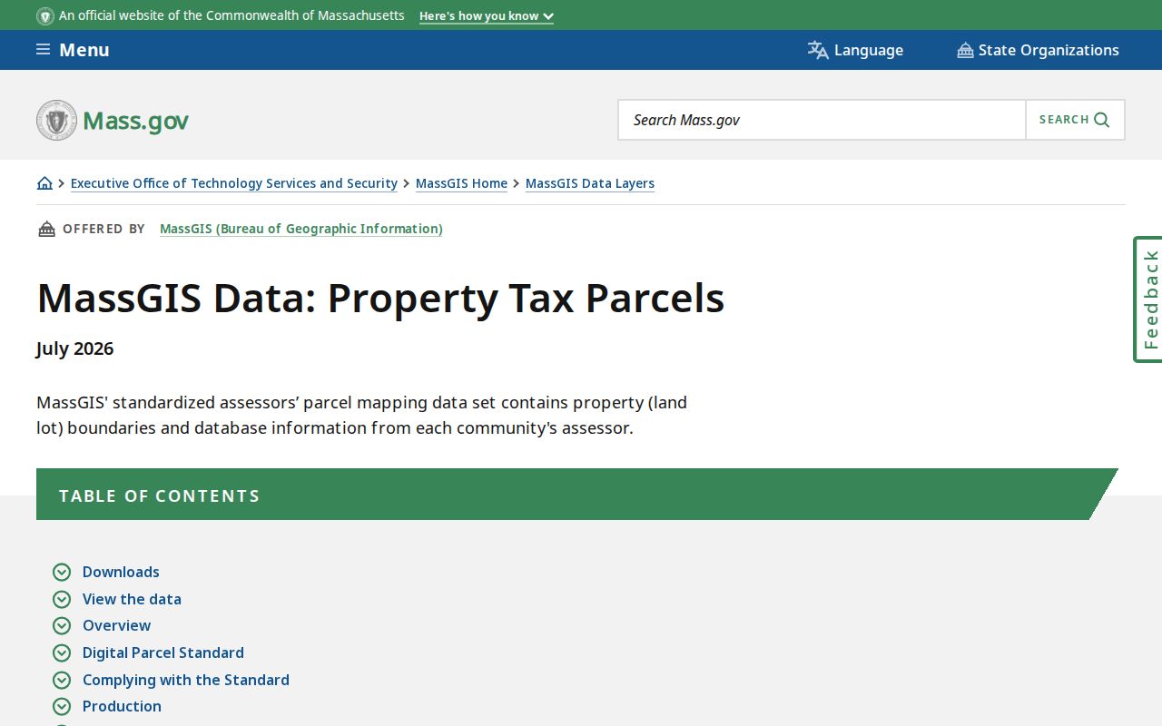
The delivery information is useful for judging data currency. It does not turn a GIS attribute into a substitute for a current assessment card or a recorded plan.
Limits of a Taunton Street Directory
No public source creates a complete, date-perfect list for every Taunton street. A parcel owner can be an entity, trust, or person whose mailing address is elsewhere. A directory can omit a household or distinguish a house from a boarding address. A voter-related list has its own rules and excludes confidential voters. Registry indexing records land-transfer and financing instruments, not every fact about people at a location. When sources disagree, report the difference rather than choosing the most convenient name.
Lawful use. Taunton address records support personal, lawful research, family history, estate work, and property curiosity. Do not use them to stalk, harass, threaten, or expose any person, especially someone protected by confidential-voter, court, or address-confidentiality rules.
For voter-registration status, the Massachusetts Online Voter Registration / Check Registration Information route requires the requester’s name, date of birth, and residential ZIP. It returns limited registration information rather than a browseable public directory.