
Taunton ZIP Coverage
Postal geography is a routing system, so the useful question is which label a current address receives, not where an assumed boundary falls. Research identifies one standard residential Taunton ZIP and a second Taunton-associated label with a different profile. The distinction matters when an address search, a historical record, and a map use different forms. Keep the postal result with the source date and do not use it as a substitute for parcel or municipal information.
| ZIP | Areas Covered | Post Office | Notes |
|---|---|---|---|
| 02780 | Standard residential Taunton postal area | Taunton Post Office, 245 Myles Standish Boulevard, Taunton, MA 02780-9998 | Use the live USPS result for an address. The label is not a municipal boundary. |
| 02783 | Taunton-associated unique, P.O.-box, or institutional-like profile | Not established in the reviewed sources | No Census residential population appeared in the reviewed profile. Do not treat it as an exact service area or residential boundary. |
The USPS ZIP Code Lookup is the current source for normalizing a mailing address.
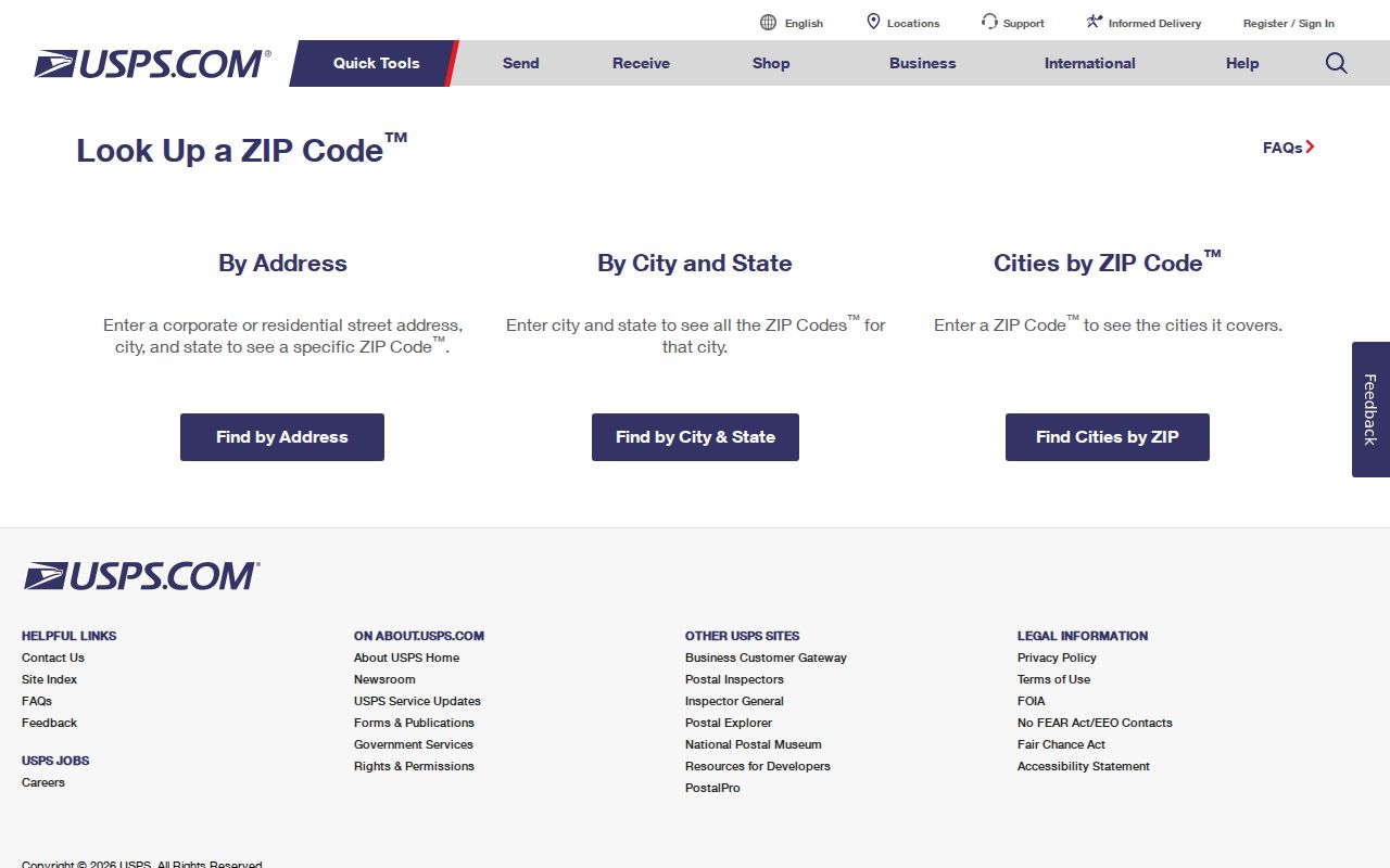
A USPS result can standardize a city name and mail format, but USPS warns that the result does not confirm a person or company at an address.
Taunton Postal Labels
The 02783 label is a local postal-history quirk, not a reason to infer a precise current boundary. Census and state data reviewed for Taunton identify it as unique, P.O.-box, or institutional-like and show no residential population in the reviewed Census profile. That tells a researcher to verify a specific address through a live USPS result and another record system rather than guessing from the number alone.
An archived 2017 USPS Postal Bulletin records historical label treatment involving 02783 and “TAUNTON MA 02780.” It is evidence of postal-label history, not a current delivery-area polygon or a final answer about any street. The research found no official current map that establishes every ZIP boundary for Taunton.
Find Taunton ZIP Records
Begin a record search inside one postal area by protecting the address history first. Keep the historical printed address, the normalized USPS address, the assessor situs address, and the Registry legal description as separate values when they differ. A renumbered street, changed suffix, route designation, or unit can make the same location look different across sources. The steps below turn a postal result into a careful record trail without treating it as a people list.
- Write down the full address exactly as it appears in the source, including unit, route, older suffix, or any spelling variation.
- Use USPS By Address to normalize the current mailing form, then preserve the result and search date.
- When the street is unknown, use USPS By City and State or Cities by ZIP to identify the available postal label route.
- Check the Taunton city street-index map and the right ward or precinct map vintage before comparing local civic records.
- Use MapGeo or the Taunton Assessor / Vision Government Solutions record with an address, owner, or property identifier, then consult the Northern Bristol County Registry of Deeds / Bristol North District for the recorded instrument.
Massachusetts Online Voter Registration / Check Registration Information is not a ZIP browse tool. Its self-check requires a name, date of birth, and residential ZIP, and it returns limited registration information rather than a public biography.
Taunton USPS Lookup Fields
USPS offers three distinct paths. Choosing the right one prevents a street query from being mistaken for a city-to-ZIP or ZIP-to-city search. The service standardizes mailing information, but it does not establish a municipal boundary or a person's connection to a location.
| USPS path | Fields supplied | Required fields | Use and limit |
|---|---|---|---|
| By Address | Company, Street Address, Apt/Suite/Other, City, State, ZIP | Street Address, City, State | Returns a standardized ZIP result for an address; it does not confirm a person or company there. |
| By City and State | City and State | City and State | Finds postal information from a place-name entry, which may use USPS standardized naming. |
| Cities by ZIP | ZIP | ZIP | Returns associated city names; it is not an exact city-boundary lookup. |
Record which path produced the result. A city-to-ZIP response answers a different question from a full address result, and both can need a parcel or city-map check.
Note: Add apartment or suite information when it is known, but do not replace a confirmed street address with a postal label alone.
Taunton Post Office Record
The official Taunton Post Office listing gives a stable contact reference for postal questions: 245 Myles Standish Boulevard, Taunton, MA 02780-9998, telephone 508-822-5307. USPS also lists national customer service at 1-800-275-8777. Those details identify an office and contact route, not the border of every route or the status of a particular delivery address.
The Taunton Post Office listing is the source for the local postal-office information.
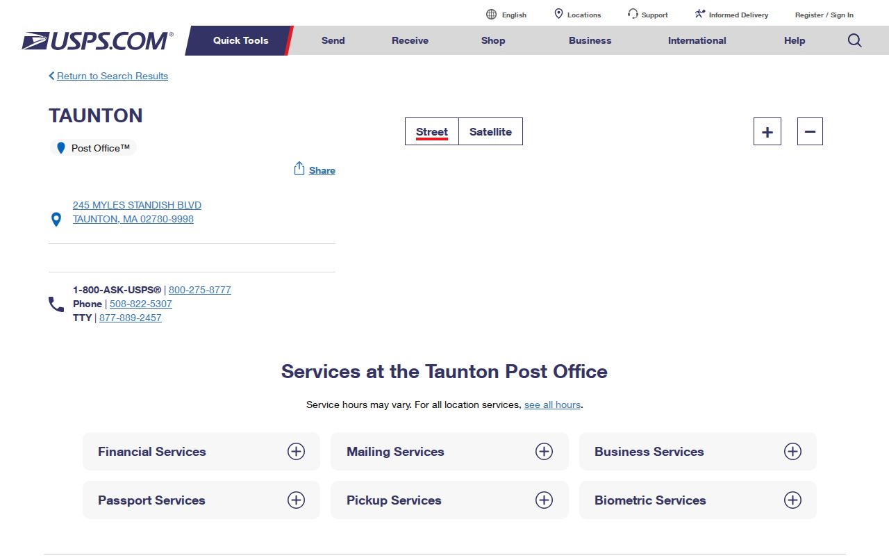
Use the office listing when a postal question needs a custodian contact, while using the live ZIP tool for the current format of a specific address.
Taunton Postal Boundary Terms
Postal and local-record terms sound similar but point to different things. Define them before comparing a historic directory, a parcel screen, and a mailing label. This avoids turning a ZIP response into an unsupported statement about where a household or property is located.
- ZIP
- A USPS routing label for mail. It can cross municipal lines and is not a legal city boundary.
- ZIP+4
- An added four-digit delivery refinement used with the basic ZIP; it narrows mail sorting, not municipal geography.
- PO-box ZIP
- A postal label associated with box service rather than a standard residential delivery-area claim.
- Unique ZIP
- A label with an institution-like or special postal profile. The reviewed Taunton material identifies 02783 in this kind of category.
- Carrier route
- A mail-delivery grouping that can help a postal operation, but does not establish legal land boundaries.
The distinction is especially important for 02783. The available research supports a limited postal characterization and a Census-profile caution, not an exact boundary map.
Taunton Map Records
City maps make a postal result more useful by supplying street-index and electoral context. Taunton's maps page offers a street-index map and ward and precinct maps, including 2010 and 2020 precinct changes. Use the map vintage that matches the record date. A precinct label can change without a physical parcel moving, and a changed street number can break a simple address match.
The Taunton City Maps page is the source for the street-index and ward/precinct resources.
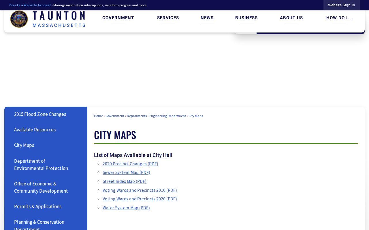
A city map can connect a street form to a ward or precinct at a particular time, but it does not replace USPS addressing or Registry land records.
For a parcel lead, Taunton MapGeo Quick Search accepts Address, Owner, and Property ID. Its parcel data are non-authoritative and may include third-party information, so use it as a dated research lead. Once a postal area narrows to a named street, the Taunton streets reference addresses the separate street-level process.
Taunton Neighborhood Labels
Local place names add a useful second layer to a postal search. Taunton, MA, is the Bristol County seat, and Downtown, Weir, Whittenton, Oakland, Westville, East Taunton, North Taunton, and Bird Lanes appear in city planning and local descriptions. A directory, map, or newspaper may use one of these terms instead of a postal label. Treat them as search terms and historical context, not as a promise that a location sits inside a single official boundary layer.
The City of Taunton overview provides municipal context for the place.
Research found no single official GIS layer that defines every named Taunton neighborhood. Pair a neighborhood term with a street, map vintage, and the postal result rather than using the label as a boundary.
Compare Taunton Record Labels
One location can have several valid descriptions at once. The USPS label manages mail. The assessor identifies a situs address and parcel context. The Registry preserves a legal description in a recorded instrument. A voter record applies election rules to a residential address. Comparing these layers explains why a mismatch is a research question, not instant proof that one source is wrong.
| Record layer | What it describes | What it does not prove |
|---|---|---|
| USPS result | Mailing standard and postal routing label | Municipal line, parcel line, or who is present at the address |
| Assessor or MapGeo | Situs, parcel, assessment, or geometry lead | Recorded legal boundary or current personal presence |
| Registry instrument | Recorded parties, legal description, and plan references | Every person associated with the location |
| Voter information | Limited registration status under applicable rules | A complete household or broad public ZIP roster |
This comparison is particularly helpful when an older address has a different number or suffix. The October 8, 2024 Taunton City Council minutes discuss a Woodlawn Street number change and Registry, engineer, and GIS coordination. The record is a warning to test old and new forms, not a complete crosswalk.
Taunton Postal Research Limits
Use the postal result as one verified attribute, then retain the source date, exact query path, and related address forms. The Massachusetts Public Records Law may provide a route to records held by a custodian, but it does not turn a mailing label into proof of current presence, legal ownership, or a complete resident list. When systems disagree, preserve the disagreement and ask the relevant office which record controls the question.
For personal, lawful research, minimize unnecessary personal details and respect restricted records. Do not use addresses, maps, or postal data to harass, threaten, impersonate, or expose a protected person.